
Born out of governance concerns in Organic Maps, CoMaps has been created with a goal of restoring transparency, community control, and privacy-focused navigation. It’s a fully open source navigation app that works offline and doesn’t track users.
A few weeks after the project began, CoMaps has officially launched with apps for both Android and iOS. Join me as I take you through its key features and what makes it stand out.
CoMaps: What to Expect?
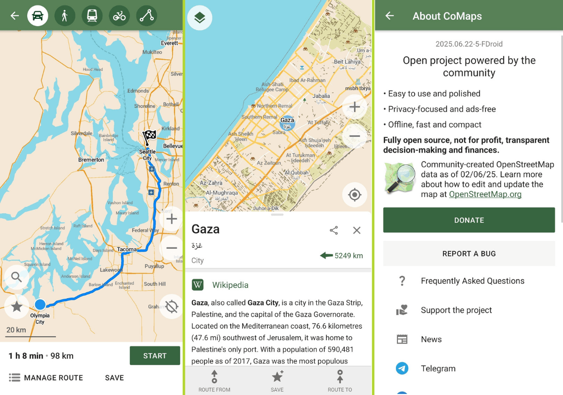
We begin with its most handy feature, offline navigation and search. With CoMaps, you can download entire regions before you begin a trip for easy navigation in places without an internet connection or mobile network connectivity.
The user interface is clean and intuitive. You won’t need a manual to figure it out. Whether you're a daily commuter or a weekend hiker, everything is simple, fast, and clear.
Moreover, privacy is baked into the app. CoMaps doesn’t track you, collect data, or run background analytics. You are responsible for what you share, and your location stays on your device.
Before you ask, what makes this different from Organic Maps?
CoMaps can remember your navigation routes as tracks, making it easy to revisit past trips or explore alternate routes. It also includes a re-mappable action button (just below the search bar), letting you customize it for quick access to your favorite function.
The map style itself is another highlight; it feels fresh, modern, and thoughtfully designed without being cluttered. Roads, paths, and terrain are clearly differentiated, making it easier to plan routes at a glance.
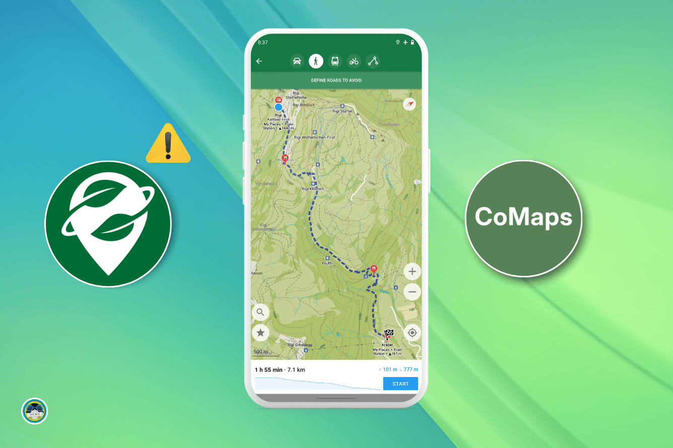
Bonus Tip: You can pair the default map view with the "Outdoors" map style to highlight more navigation routes. It’s a small change that makes a big difference when exploring.
Get CoMaps
The latest builds of CoMaps are available on F-Droid and the Play Store for Android users, and on the App Store for iOS.
If you’re looking for APK files or want to explore the source code, then you should visit the project’s Codeberg repository.
Suggested Read 📖
- Even the biggest players in the Linux world don't care about desktop Linux users. We do.
- We don't put informational content behind paywall. Your support keeps it open for everyone. Think of it like 'pay it forward'.
- Don't like ads? With the Plus membership, you get an ad-free reading experience.
- When millions of AI-generated content is being published daily, you read and learn from real human Linux users.
- It costs just $2 a month, less than the cost of your favorite burger.
Become a Plus Member today and join over 300 people in supporting our work.


